Dorset marine tech firm part of campaign to protect vitally important seagrass meadows
Data from the South West is being used to help to protect global seagrass habitats from being destroyed, thanks to a new partnership between Dorset marine tech company savvy navvy, not-for-profit Clean Sailors and the Ocean Conservation Trust.
Seagrass is one of the Ocean’s most valuable habitats. The global ‘#protectourbeds´ campaign aims to bring greater awareness to water-users on where sensitive seabeds lie and encourage them to minimise disruption from anchoring – starting with data from the South West.
Seagrasses combat climate change by absorbing and storing huge amounts of carbon, but are estimated to be the fastest disappearing habitat on the planet due largely to avoidable human activity.
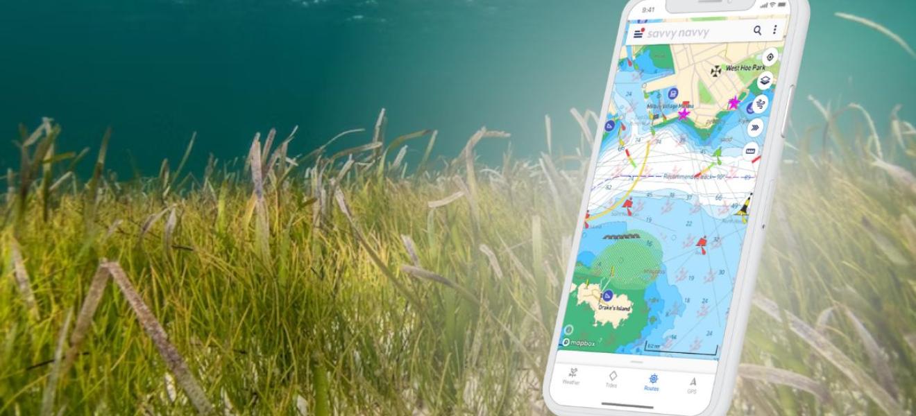
Holly Manvell, founder of Clean Sailors based in Cornwall, said: “The #protectourbeds campaign is collating geo-spatial data on sensitive seabeds and showing the information in the savvy navvy navigation app - providing sailors and water-users with a clear view of where seagrass beds are and alternatives to anchoring.
"By mapping and sharing sensitive seabed locations with digital navigators, and the location of alternatives - eco-moorings - we can educate, inspire and encourage our sailing community to make more informed anchoring choices when out on the water. Making this data visible to those of us who can mitigate our impact when boating, across the world, is incredibly exciting and just makes so much sense to seagrass conservation efforts globally.”
Seagrass meadows store 10% of the ocean’s carbon and play a key role in the fight against climate change. They can be up to 35 times more efficient at absorbing carbon than rainforests of the same area and provide a habitat for rare and endangered species. The UK alone has lost nearly half of its seagrass beds since the 1930s.
Mark Parry, Head of Ocean Habitat Restoration at the Ocean Conservation Trust, said: “The Ocean Conservation Trust has been working with the boating community to conserve nature for the past decade, so we are delighted to be the scientific adviser in this project. The addition of sensitive habitat information on savvy navvy navigational charts is the first time the boating community can easily understand what lies beneath the keel. Seagrass habitats are biodiversity hotspots and in decline from multiple pressures, so providing this information to the conscientious boater is a significant step forward in the recovery of this vital Ocean habitat.”
All-in-one navigation app savvy navvy, often referred to as ‘Google Maps for Boats’, was founded by Dorset entrepreneur Jelte Liebrand. From today, users of the app are able to see the location of existing seabeds and eco-moorings around the South West of the UK. The project will build UK-wide sensitive seabed data and then focus on European waters and beyond through the course of 2023-24.
David Cusworth, Head of Innovation and Partnerships at savvy navvy, said: “We are so excited to work with Clean Sailors and the Ocean Conservation Trust, and be one of the only navigation apps on the market helping to build environmental awareness of carbon footprint through showcasing vital seagrass data. While savvy navvy is all about simplifying boating technology by making navigation safe and easy for everyone, innovative campaigns helping boaters to make better choices when out on the water is something we feel very strongly about.”
The #protectourbeds campaign is looking for data partners worldwide for the next milestone of the project. All enquiries and applications can be directed to Clean Sailors via info@cleansailors.com


